Saturday, August 31, 2013

Illumination Saddle

This side of Mount Hood is uggo, but I've been wanting to get up to Illumination Saddle for a while now and I'm stuck at home this weekend. I cheated and took the Magic Mile, then made my way fairly quickly up and over to ZigZag Glacier. There are some bootpaths through the scree, but I mostly just chose my own path to make it easier on my knees (long run yesterday). At the glacier, I followed some boot-tracks and stayed hiker's right/east. It looked like there might've been some small crevasses hiker's left/west closer to the pinnacle, so I hiked vertically for a while about thirty feet from the edge of the snowfield, and then traversed below Castle Crags, where some small boulders in my path made me a touch nervous. The sun cups I'd heard so much about were almost completely flat. Nearing Illumination Rock, the snow steepened sharply and I slipped a little in my microspikes climbing up to the saddle. I had to backtrack and kick in some steps, but nothing too tricky. The view of Reid Glacier was great from my little perch, but I made haste back down all the way back to the lodge, slipping and sliding and cursing through lava and litter. So, if anything, this short trip taught me that snow is better than scree and that after Spider Gap I'm no longer afraid of a little glacier. I will probably do this hike again in the early season when I have a good weather window.


Saturday, August 24, 2013

17 Mile Training Run

As I write this, I literally can't stop eating. I went to Laughing Planet for a smoothie and nachos, then I went to Trader Joe's for groceries but ate the entire way home. Chicken, cheese, dried mango, sesame almonds... protein...CARBS! Anne... SMASH!

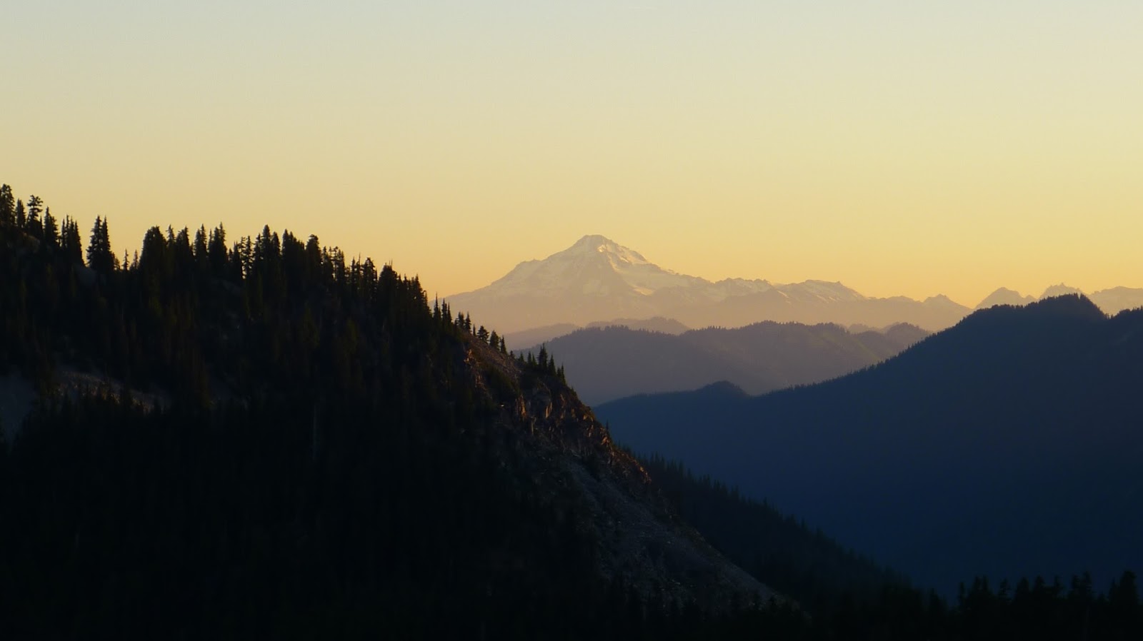
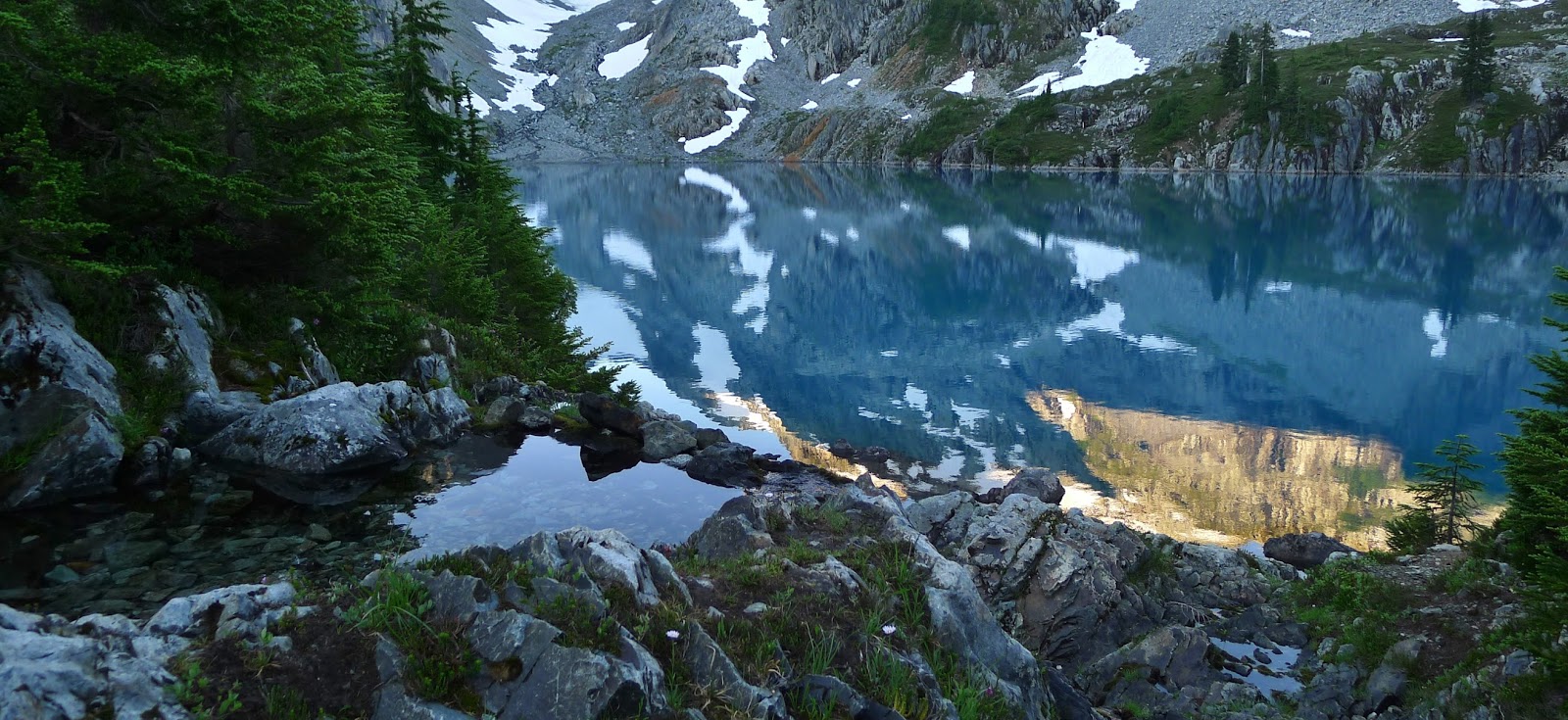
I'm not just being a fat kid, I swear. Today was my 17-mile long run day, the one I've been nervous about for weeks now. I knew I could probably squeeze out 15 miles last weekend, because the Timberline half marathon was actually 14 miles on a trail. Then on Sunday and Monday I backpacked 26 pretty tough miles. Last night I was still moving furniture at work at midnight (don't ask). My mid-week training was lacking to say the least. I was a touch worried about today.

This was the biggest mental hurdle I've had to cross yet. I got pretty pissy around mile 16, mostly due to accidentally cutting my loop too short and having to backtrack. But the stretch over the St John's Bridge and down Willamette Blvd was lovely! It took me three hours and seven minutes, which is an overall 11 minute mile pace. I'm not thrilled with that, but it's average for first time marathoners. When I hit the half marathon mark today, I was at 2:22 -- even if I was able to keep that pace would put me closer to five hours than four for the marathon. Arbitrarily, I have decided that I would like to finish under 4:30, but that's not very realistic when looking at my half marathon pace. I have over a month to improve my speed, though.

I really like this whole marathon training thing. I have little time for anything else between this and tearing up the Washington trails. My sommelier studies have been sacrificed and my dogs seem to have forgotten who I am, true. But if it means I can eat a block of cheese and not gain weight, or that I can motor up a glacier with a backpack on almost as fast as my hiking buddy, I'll take it. Maybe there are more of these things in my future...

Monday, August 19, 2013

Lyman Lakes Overnighter

Of all the most scenic places I've hiked and traveled, the Glacier Peak Wilderness ranks high - definitely top five. I imagine if I ever make it to New Zealand or Switzerland I'll find places that rival the alpine lakes of Northern Washington for sheer beauty. Until then I'm going to consider myself extremely fortunate to live six hours and several miles of walking from these insane, mind-blowing landscapes.


26 miles RT (including Cloudy Pass). Trip report here.

Tuesday, August 6, 2013

Jade Lake Backpack, Alpine Lakes Wilderness, Or: If It Doesn't Look Like a Postcard, Don't Waste My Time*

Jade Lake is one of those places where words are fairly inadequate, so I'll keep this short. From Portland to Salmon LaSac in the pre-dawn hours it's four hours. From the junction at Salmon La Sac to Tucquala Meadows it's 10 miles but 45 minutes, and that's in an SUV. The road is so bad that a passenger car would have to travel even slower. The Scatter Creek car ford is currently at about 9 inches in depth. The trailhead is a large parking area in beautiful meadow in a canyon. Starting out the trail is quite flat, with two miles of shaded gentle ascent to Hyas Lake, which is basically a large, pretty greenish pool in the Cle Elum River, with Cathedral Rock high above and eventually views of the massive east flanks of Mount Daniel. At 4 miles you pass the Tuck/Robin Lakes junction, and shortly after the trail steepens significantly as you climb towards Deception Pass. At the pass, which is really just a big trail junction in the forest, take the Marmot Lake branch. From there, the trail drops and climbs for 3.5 miles through overgrown, buggy Hozzbizz Basin, which is a mix of marsh and meadow. The trail is not pleasant here, despite glimpses of Glacier Peak off towards Stevens Pass, at least until the next junction with Lake Clarice. The sign for the junction is about 10 feet down the trail and easy to miss, but take the left branch at the Y. From there, it's .5 miles of climbing to Marmot Lake. At the pretty but buggy lake, you'll pass a double campsite right away on a rock up high as you head clockwise around the lake (about 30 minutes), and several more closer to the water past that. From the first set of campsites, you can see the gully up to Jade Lake. Work your way around the lake, staying close to the shore most of the time on a trail that sometimes becomes hard to follow, until you reach the second large rock field. There are a couple small ones, but look back towards that first campsite - if you can't see it, you're not at the right gully. You'll know for sure you're on the right path when you see cairns marking the way. A couple of them have pink tape on them. Follow them all the way up (about 1-1.5 hours), primarily staying on a faint bootpath through the heather on the far left side of the rockfield, until you reach the meadows of No-Name and finally Jade Lake. We didn't have time to make the climb to Dip Top Gap, but I will be back in the not-too-distant future.


2 days, 18 miles RT

* Credit to Julie for the New Motto of the Summer